Underground Utility Locating
Tasmania
Pipes · Cables · Conduit · Buried Services
Utility Mapping &
Site Investigations
Tasmania
At Spaulding Geophysics, we deliver industry-leading utility location and mapping services across Tasmania, providing precise subsurface intelligence for construction, civil engineering, asset management, and development projects.
We systematically locate underground pipes, cables, conduits, and buried services to Australian Standards AS 5488.1:2022 and AS 5488.2:2022 (Classification of Subsurface Utility Information) optimising resource allocation and minimising risk.
An undetected utility strike during excavation can cause serious injury, service outages, costly repairs and major project delays. Geophysics accurately locates and maps buried services before you dig — keeping your team safe and your project on schedule.
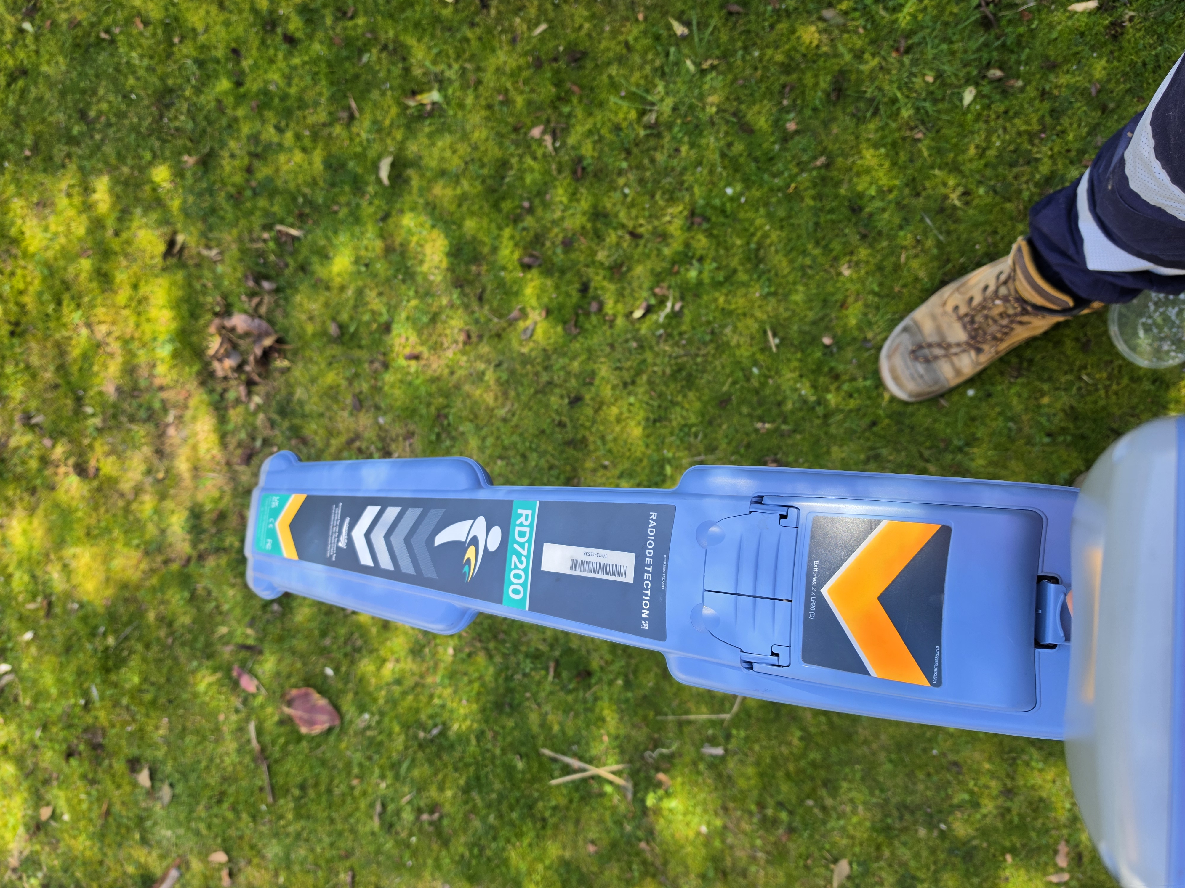
Radio Detection Electromagnetic Locator on-site.
| Technology | Best For | Typical Depth | Key Advantages |
|---|---|---|---|
| GPR (High Frequency) | Non-metallic pipes, voids, complex networks | 0–2 m+ (varies) | Detects plastic & non-conductive services |
| EM Locators | Conductive metallic services | Up to 5–7 m | Precise tracing & depth estimation |
| Sonde Tracing | Non-conductive drains & ducts | Up to 5–7 m | Locates plastic pipes without access issues |
| Supporting Methods | Large ferrous pipes/tanks | Deeper targets | Magnetics & Low Freq. GPR where required |
Equipment &
Technology Selection
Technology selection governs the ability to detect both conductive and non-conductive utilities across varying ground conditions.
Spaulding Geophysics combines multiple methods to maximise detection coverage and confidence, being the only Tasmanian business to employ a full geophysical toolkit including marine and ground magnetometers, conductivity meters and a comprehensive fleet of GPR antennae covering a broad frequency range from 100MHz to 2700MHz.
Utility Locating
with GPR, EM & Sonde
Ground Penetrating Radar (GPR), Electromagnetic (EM) Locators, and Sonde Tracing form the core of our multi-technology utility detection approach. This combination allows us to locate both metallic and non-metallic services with high accuracy and without excavation.
GPR provides high-resolution imaging of pipes, conduits and voids. EM locators deliver precise tracing of conductive cables and metallic pipes. Sonde tracing is used to locate non-conductive plastic and clay pipes by inserting a transmitter that emits a traceable signal. Together, these methods significantly reduce the risk of utility strikes and provide reliable data for safe excavation.
Our experienced team selects and combines the most appropriate technologies based on site conditions, target types and project requirements to deliver the highest detection confidence.
What You
Receive
- GPR grids and targeted profiles
- Electromagnetic line tracing
- Sonde tracing of non-conductive services
- On-ground utility markings
- GPR data processing and depth calibration
- EM signal interpretation and depth estimation
- Sonde signal tracking and mapping
- Integration of multiple datasets
- Georeferenced utility plans
- Depth estimates and service identification
- Crossings and conflict identification
- Targeted risk zone highlighting
- Full interpretive report with figures
- Georeferenced CAD utility overlays
- Marked site drawings and PDF reports
- BYDA-compliant documentation